


Danube-Auen National Park
Donau-Auen National Park covers 93 square kilometres in Vienna and Lower Austria and is one of the largest remaining floodplains of the… Read more…



Danube-Auen National Park – Planning a Trip?
Build your day-by-day itinerary in the Tripomatic app.


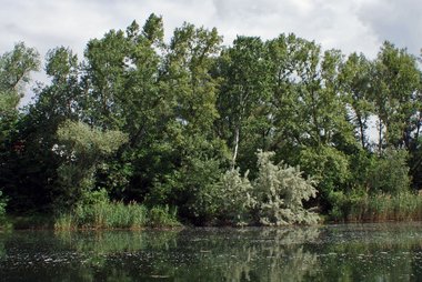
Donau-Auen National Park covers 93 square kilometres in Vienna and Lower Austria and is one of the largest remaining floodplains of the Danube in Middle Europe.
The German word Aue means "river island, wetland, floodplain, riparian woodland", i.e. a cultivated landscape in a riparian zone. The words Aue and Au occur in a large number of German place names—including Donau, the German word for the Danube River—and refer to forests, meadows, and wetlands in river and stream lowlands and floodplains. The Danube-Auen National Park protects a large area of lowland forests, meadows, wetlands, and other riparian habitat along the Danube just downstream of Vienna.
Source: Wikipedia
More Information and Contact


Danube-Auen National Park – Add to Your Trip
Create a detailed travel itinerary with smart routing, time estimates, and everything you need for a perfect trip.

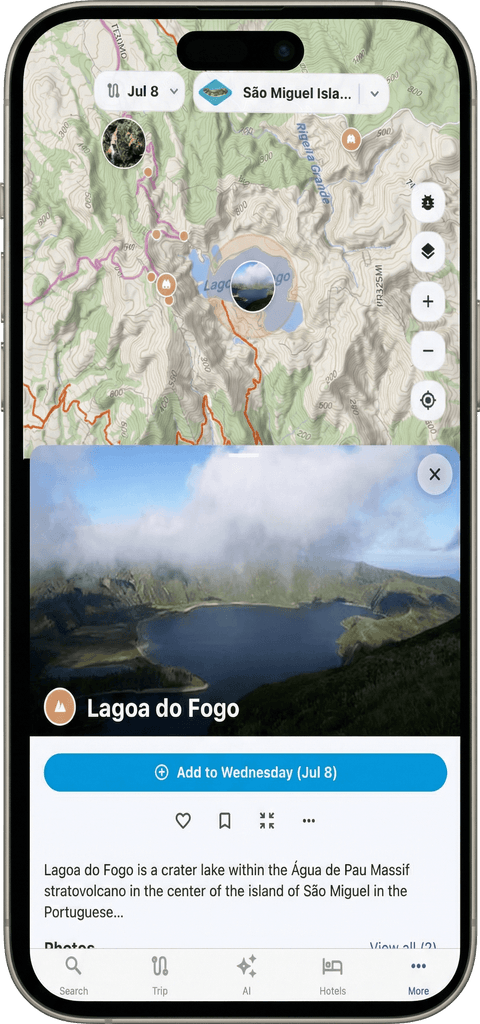
Explore the Destination


Plan your trip with Tripomatic
- Millions of PlacesExplore top attractions and hidden gems with detailed information, opening hours, and local tips.
- Smart RoutingGet optimized routes across walking, public transit, car, bike, and hiking trails.
- Day-by-Day ItinerariesOrganize your trip into days with drag-and-drop scheduling and smart time estimates.