


Printable Tourist Map of Aoraki / Mount Cook National Park
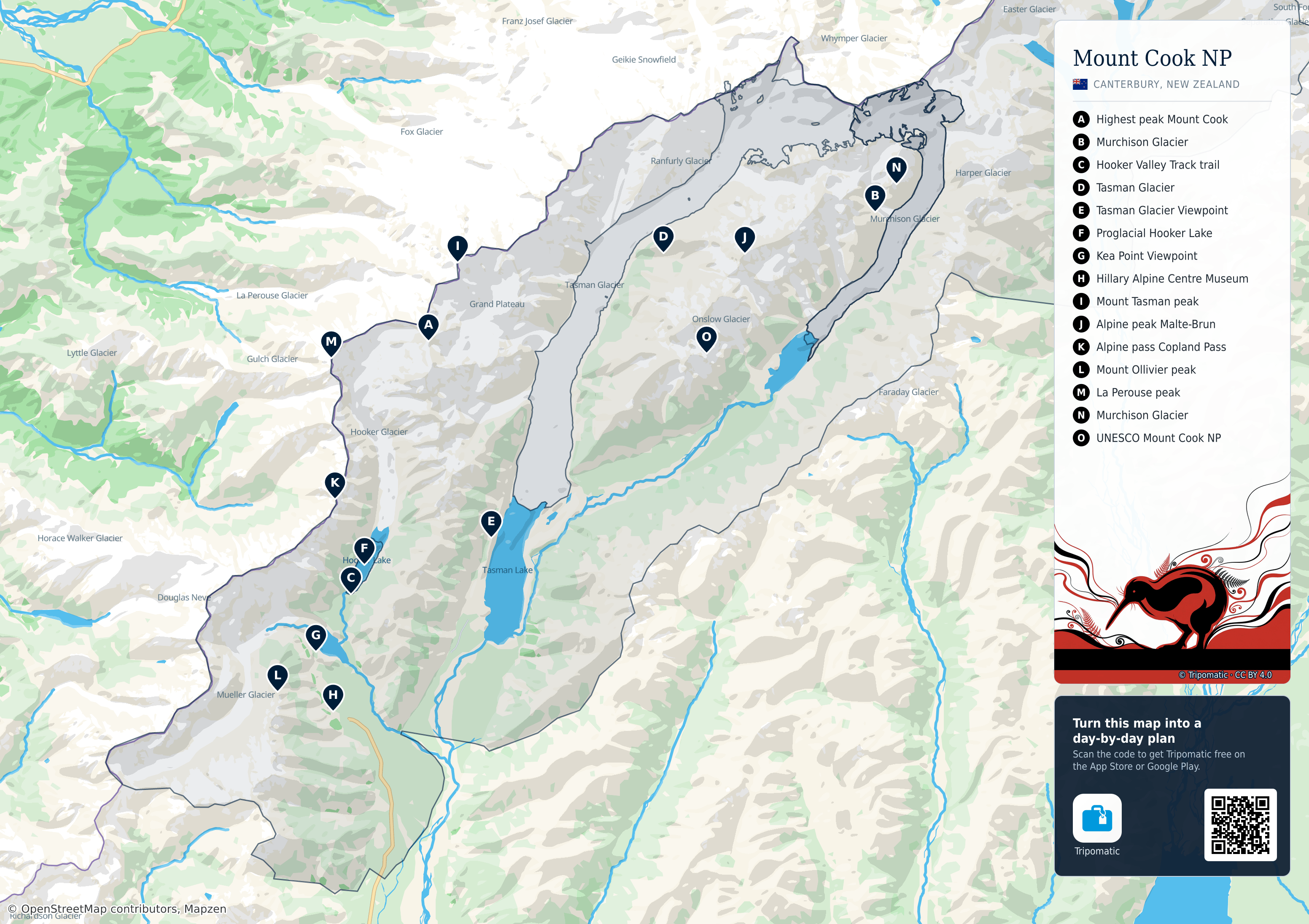
Aoraki / Mount Cook National Park: a free, high-resolution tourist map with the top sights numbered — print it, save it, or take it with you offline.
 Open the interactive map
Top sights on this map
- Highest peak Mount Cook
- Murchison Glacier
- Hooker Valley Track trail
- Tasman Glacier
- Tasman Glacier Viewpoint
- Proglacial Hooker Lake
- Kea Point Viewpoint
- Hillary Alpine Centre Museum
- Mount Tasman peak
- Alpine peak Malte-Brun
- Alpine pass Copland Pass
- Mount Ollivier peak
- La Perouse peak
- Murchison Glacier
- UNESCO Mount Cook NP
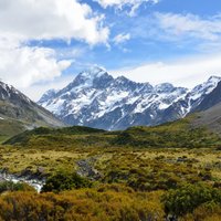
Mount Cook
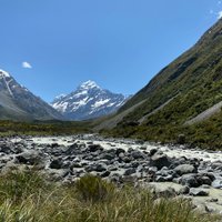
Hooker Valley Track

Tasman Glacier
Aoraki / Mount Cook National Park – Add to Your Trip
Create a detailed travel itinerary with smart routing, time estimates, and everything you need for a perfect trip.


3M+ downloads · 4.6 stars · 15 years of trip planning


Use this map on your website
This map is free to share and adapt, even commercially, under the CC BY 4.0 license. Just credit Tripomatic and OpenStreetMap as shown below.
Credit line
Map by Tripomatic, CC BY 4.0 · Map data © OpenStreetMap contributors (ODbL)