


Printable Tourist Map of Newfoundland and Labrador
Newfoundland and Labrador: a free, high-resolution tourist map with the top sights numbered — print it, save it, or take it with you offline.
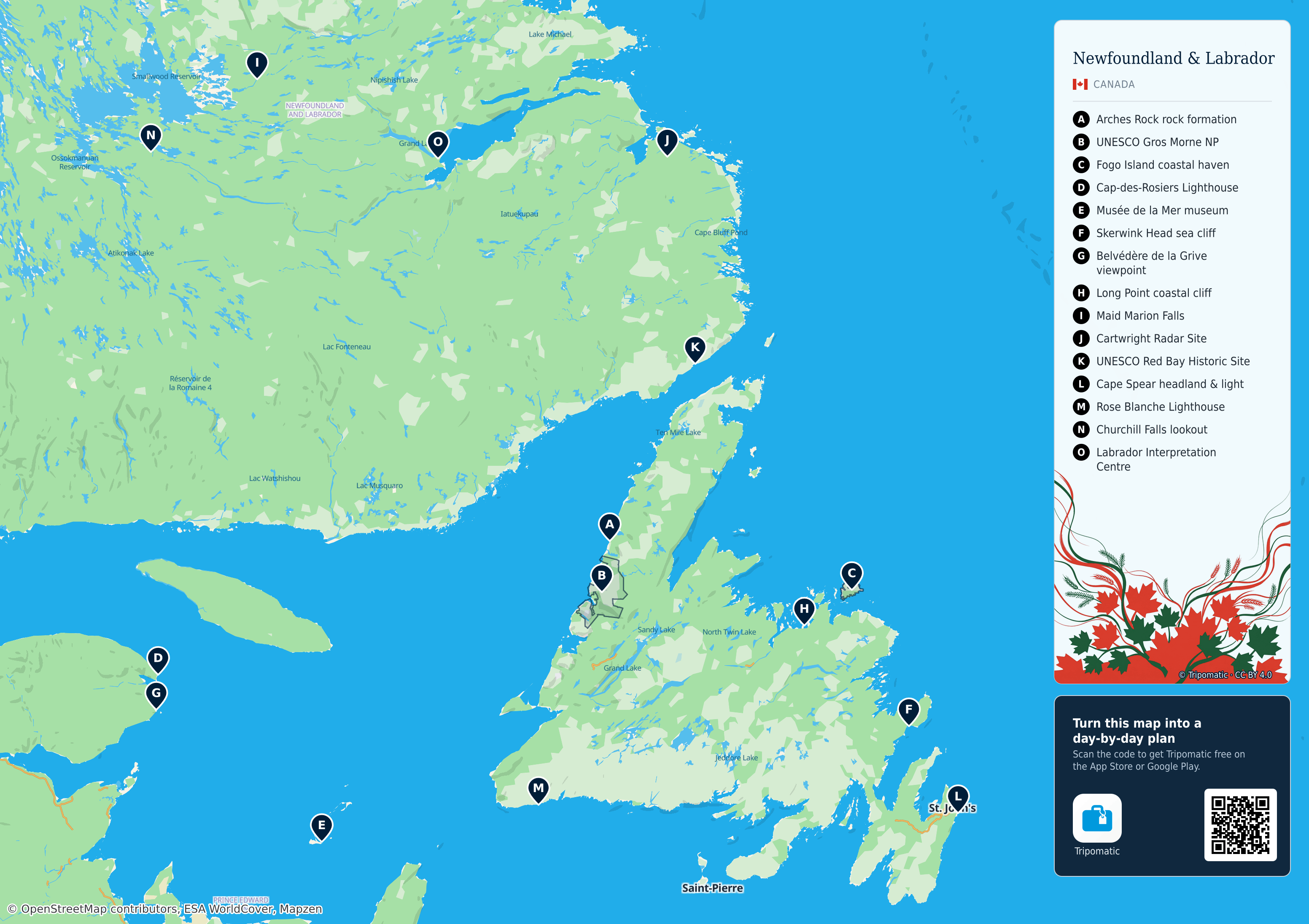
 Open the interactive map
Top sights on this map
- Arches Rock rock formation
- UNESCO Gros Morne NP
- Fogo Island coastal haven
- Cap-des-Rosiers Lighthouse
- Musée de la Mer museum
- Skerwink Head sea cliff
- Belvédère de la Grive viewpoint
- Long Point coastal cliff
- Maid Marion Falls
- Cartwright Radar Site
- UNESCO Red Bay Historic Site
- Cape Spear headland & light
- Rose Blanche Lighthouse
- Churchill Falls lookout
- Labrador Interpretation Centre
Arches Rock

Cap-des-Rosiers Lighthouse

Musée de la mer
Newfoundland and Labrador – Add to Your Trip
Create a detailed travel itinerary with smart routing, time estimates, and everything you need for a perfect trip.


3M+ downloads · 4.6 stars · 15 years of trip planning


Use this map on your website
This map is free to share and adapt, even commercially, under the CC BY 4.0 license. Just credit Tripomatic and OpenStreetMap as shown below.
Credit line
Map by Tripomatic, CC BY 4.0 · Map data © OpenStreetMap contributors (ODbL)